
The bicycle paths and trails in and around Calgary are some of the most scenic in North America. A selection of the best cycling routes worth exploring in the warmer months is further reading on icalgary.
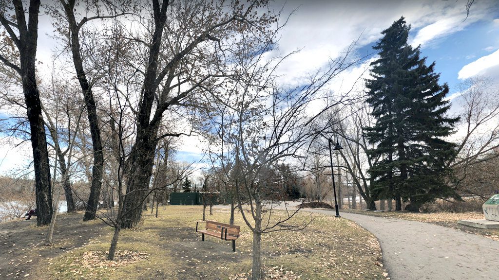
Sideshow Bob trail
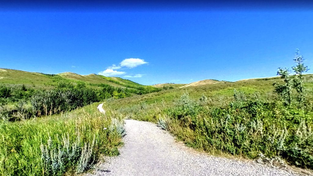
The Sideshow Bob is a 1.3-kilometer trail located at the eastern edge of Beaumont Park. It has an intermediate level of difficulty as it’s carved into the slope of a steep embankment. Such very placement is what makes it one of the most unusual trails in this area. The trail itself is twisty and provides a fast, fun ride with magnificent views.
Sideshow Bob trail starts along the cliff above Dale Hodges Park, then follows a small tree-lined section along the cliff before it finishes in Bowmont Park. Bowmont Park lies on the north bank of the Bow River in northwest Calgary, in the communities of Bowness and Montgomery. Bowmont comes from a combination of these two communities’ names.
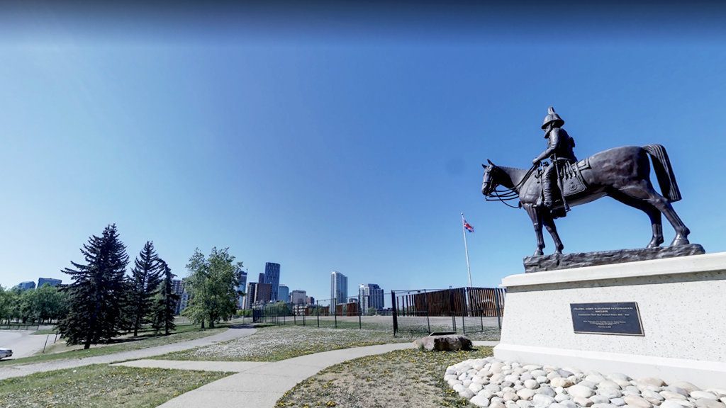
Prince’s Island Loop trail
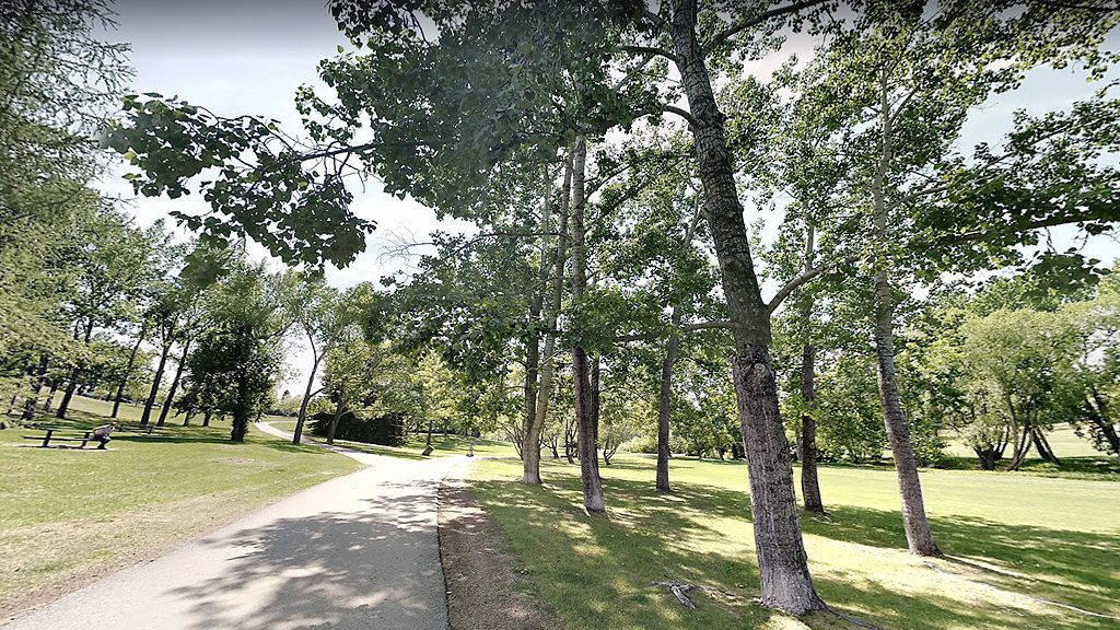
Prince’s Island and the park of the same name on it offer a 2.7-kilometer paved path through the downtown area. Explore it by bicycle and take a break by the river to admire Canadian geese and mallards. The trail is also suitable for dog walking, but only on a leash.
This trail will take you along the Bow River all the way to the park and the surrounding Chinatown neighborhood.
Rotary/Mattamy Greenway trail system
The Rotary/Mattamy Greenway is a 145-kilometer urban pathway system that wraps around the entire city of Calgary. Riding the whole length of the trails will allow you to enjoy over a dozen parks and other spectacular locations. The Rotary/Mattamy Greenway connects parks, natural landscapes, green spaces and river valleys.
Nose Hill Park trail
Take a ride on the trails of one of the largest urban parks in North America. Nose Hill Park is a resident jewel. The park lies behind the hills, allowing you to experience city and mountain views all at once.
The 12.7-kilometer loop trail provides a perfect fit for intermediate level cyclists. The paths vary from moderate to very hilly and from paved to dirt.
Highwood Pass
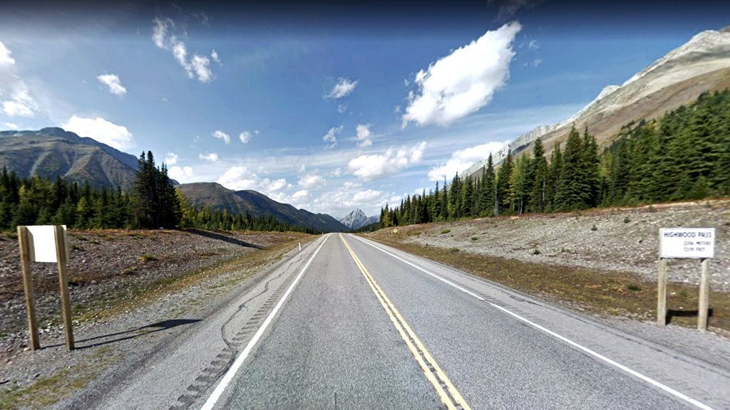
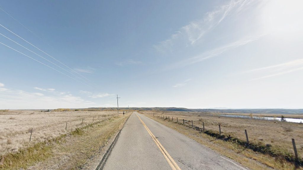
Highwood Pass is a 76-kilometer moderately trafficked trail located near Kananaskis Country. With its infinite mountain scenery, this trail is most frequently used for nature tours and road biking. There are countless rest areas along the highway with restrooms and picnic tables.
A one-way ride originating at the gate nearest the village of Longview would be the ultimate scenario for this bicycle ride. Ride your bicycle 37 kilometers to Highwood Pass, then head down 17 kilometers on a steeper road to the gate by King Creek Ridge Trailhead.
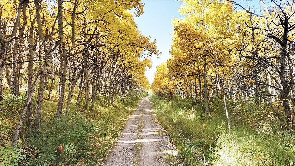
Glenmore Reservoir trail
Connect with nature in this urban oasis while cycling around one of the largest bodies of water in Calgary, Glenmore Reservoir. This 15.3-kilometer bicycle trail is perfect for cyclists of all abilities and provides a tranquil outdoor experience right in the middle of the city.
You can enjoy the waterfront with views of distant mountains and a long stretch of aspens that turn a fabulous golden color in the autumn. You can also catch a glimpse of the paddlers and some forested areas.
Glenbow Ranch bicycle route
Glenbow Ranch Provincial Park’s bicycle route will enchant you with its stunning rolling hills. Here you have the opportunity to ride along nearly 40 kilometers of paved and slate paths.
It’s part of the Trans Canada Trail in Alberta, a breathtakingly gorgeous prairie scenery with numerous wildflowers and birds. Begin your ride at the Visitor Center and head down the big hill. Then head west towards the town of Cochrane or east towards Calgary.
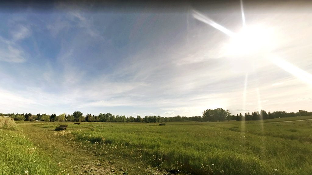
Fish Creek Park trails
Fish Creek Park’s bicycle route is perfect for a break from the hustle and bustle of the city, with plenty of trails for spending time on your own or with the whole family. The park offers 83 kilometers of paths, of which 36 kilometers are paved.
Riding across broad meadows and wildflowers and watching deer beside the creek is worthwhile. You can also take a break at Sikome Lake to cool off on a hot day. If you wish, you can stay until dusk and enjoy watching the sunset. The best place to start the route is along Elbow Drive SW.
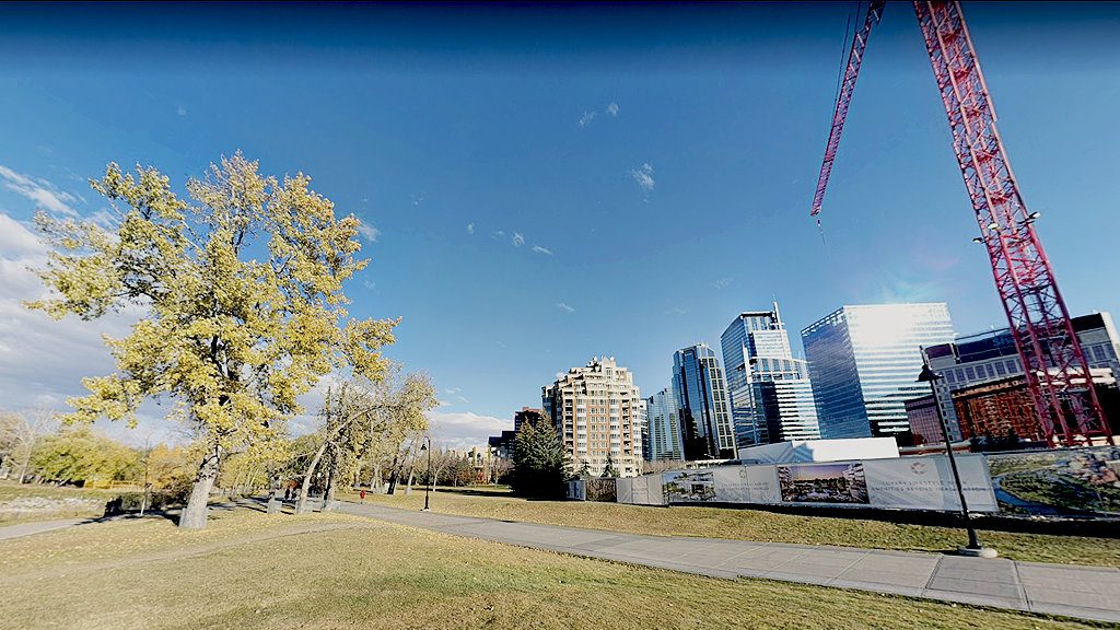
Edworthy Park to Fort Calgary route
This paved path is 9.3 kilometers along the south bank of the Bow River past downtown Calgary. It’s part of the city’s functional trail system. At the same time, it’s also part of The Great Trail network.
Start your journey at Edworthy Park. If you decide to stay longer, you may catch the sunset over the river valley and downtown Calgary. Then be sure to head to Fort Calgary.
Eau Claire Park interpretive trail
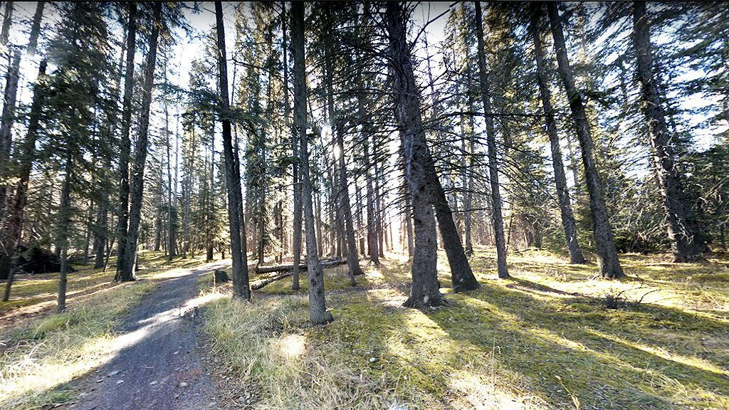
The Interpretive Trail in this park is a 0.8-kilometer loop trail located near Kananaskis Improvement and is suitable for all levels of cycling skills.
It’s perfect for a light morning or evening cycling, as Calgary’s soft glow illuminates the trees on one side and nature on the other. Begin your journey by cycling along the Bow River until you reach where the Bow River merges into the Elbow River. Continue along the west side of the Elbow River and enjoy stunning views of downtown.
Confederation Park bicycle paths
The Confederation Park bicycle paths follow a 4.3-kilometer embankment along the lake. The paved trail provides a leisurely ride through this stunning park.
This park is one of the most peaceful places in Calgary. Enjoy the vast lawns and relax with a picnic, or take a moment to watch the families of ducks swimming in the creek that runs throughout the park.
Cochrane Horse Creek route
This large road loop northwest of the town of Cochrane is an easy trail with only a few mild climbs. The total route distance is approximately 50 kilometers. Along the way, you will observe a landscape of rural areas, farms and ranches with views of the foothills and mountains.
Beginning at the Cochrane Ranche parking lot, head west for approximately 3 km on Highway 1A to Horse Creek Road. Then head North on Horse Creek Road for about 20 km, then West for 3 km and South on Grand Valley Road for another 15 km. After that, head East on Highway 1A for about 8 km until you end up back in Cochrane.
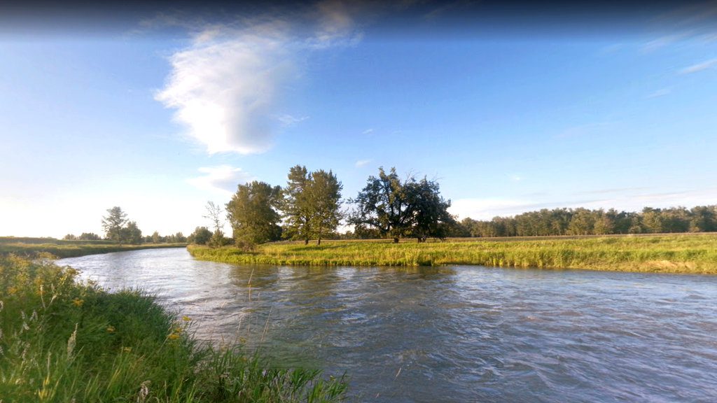
Calgary to Chestermere trail
The Calgary to Chestermere bicycle trail is 24.1 kilometers long. The bike path is beautifully maintained, stretching along an irrigation canal that begins in front of the Sam Livingston Fish Hatchery in downtown Calgary.
Everyone will find something for themselves on this route. The canal and several wetlands are home to many birds and wildlife. You can spot Canadian geese, mallards, killdeer, grebes, or even loons along the irrigation canal.
Begin your journey at Prince’s Island Park and then ride southeast until you hit the Trans-Canada Highway 1 to Chestermere Bike Park.